Why I Love Maps
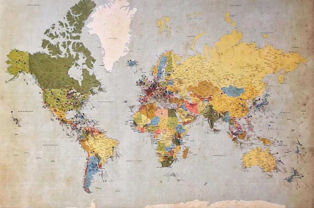
photo credit: Andrew Stutesman.
By Cale Gressman
This will be a short but hopefully savory piece (more of a savory guy myself). It’s an open secret that I absolutely love maps. By love, I mean I can stare at them for hours if I am unbothered (granted, I can also stare at a wall for hours so…). It’s not just maps of the world or of countries, but of fictional ones as well. I have in my possession (in some dusty corner) maps of both Skyrim (Skyrim belongs to the Nords!) and Middle Earth (Here’s a great album.) Why do I love them so?
Maps fill in the blank spots of imagination. They act in the same fashion as pictures. They give image to what our minds struggle to envision. They are in essence relational. A map of a country is useless (unless you are merely going around that country) without knowing what is around that country. The conflict in Ukraine would be baffling if we did not know that it is Russia that lies next to the Eastern nation. \
This brings up another point; they allow us to infer what goes on in that country. The more detailed, the better. We can infer much from a map of the world if it shows us that countries like the UK and Japan are island nations. We can glean much from that fact alone. We can safely assume that they at least have a navy, probably a decent-sized one.
When more details are added to the map, such as hues of greens, blues, and tan to denote vegetation, water, and deserts respectively. This can also reveal much. A country with lots of rivers will likely have rich agriculture, such is the case with Bangladesh. Countries that are clearly deserts are likely to have much smaller populations, even if very large in size as with Libya.
Topographical maps add even more detail. Knowing the elevation of any given different area will allow you to understand even more about it. If you look at a topographical map of Europe, you will discover that the north of Europe is all low lying. Understanding this helps greatly in explaining why the traditional invasion route in Europe has been through this region. The Nazi Germans invaded the Soviet Union along this route, and the Soviets did it in kind only a few years later.
What about natural obstacles? (at least I’m assuming you asked that…) Where mountains are determines a lot about a country and a region. Generally speaking, mountain dwellers are consistently poorer than those in the lowlands. This is for the simple reason that more food can be grown in lower, less rocky areas. This is the case everywhere from, Appalachia to the Scottish Highlands. They also act as excellent borders, or rather they have a habit of forcing a border on people. Another added effect of mountains is the propagation of unique cultures due to geographic isolation. A perfect example is Switzerland, which has three official languages (German, Italian, and French) and no real history of inter-ethnic violence.
Rivers too provide some of these benefits: they make for very good borders, as well as (depending on depth, etc…) excellent locations for portages (looking at you Budapest). However, the biggest problem with rivers is that they shift course over time. Once where there might have been a clear border is now complicated by the gradual shifting of a river’s course. This can be the source of conflict, as it was at the Battle of Nomonhan/Khalkhin Gol (1939) where Imperial Japanese and Soviet forces faced off at a river known as Khalkhin Gol at the Mongolian-Manchurian (then the puppet state of Manchukuo) border.
So yeah, maps are cool… You should stare at them for long periods of time as I do, then someday you can perhaps become like me!!!
Comments
Post a Comment